
indieprojector
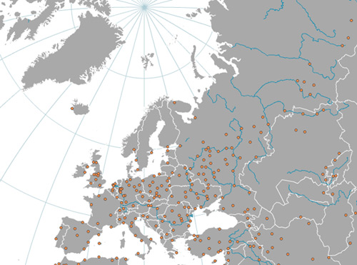
At Axis Maps, in our march toward indiemapper, we have made indieprojector, a tool for creating projected maps of your geographic data and exporting them to vector graphics for further design work. Part useful tool and part demo of indiemapper functionality, indieprojector fulfills one of the cartographer’s most basic requirements. In my experience trying to make maps on my home computer without complicated or expensive GIS, not being able to start a map by projecting my data has always been the most frustrating barrier, as the prior (finding data) and subsequent (graphics editing) steps can easily be accomplished. We hope that indieprojector can help out.
We’ve started with eleven global and continental projections to choose from, support for most shapefiles and KML, and export to SVG. Give it a try!
Tagged axis maps, indiemapper, projections
1 Comment